Description
Description
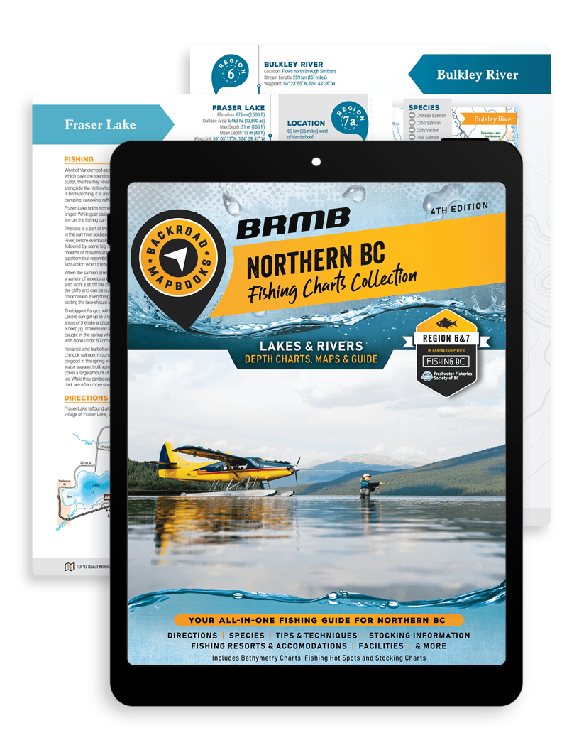
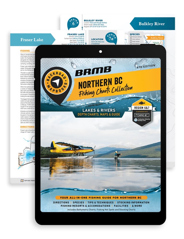
Welcome to the 4th edition of the Northern BC Fishing Mapbook!
From fishing off the most secluded riverbanks to casting a line over calm waters, to exploring the biggest lakes in the province, Northern BC has our vote in offering one of the most diverse fishing experiences in Canada. Covering the three Fishing Management Areas in Northern BC - the 6 Skeena, 7A Omineca and the 7B Peace region - the 4th edition Northern BC Region Fishing Mapbook is your go-to guide for finding the best fishing spots in Northern British Columbia.
New for 2024, the Backroad Mapbook team has researched, updated, and designed a new fishing Mapbook to raise the bar in your future fishing adventures. With 160 pages of information, we have included over 130 lakes and rivers to show you where to fish and the best way to fish in any given area. From brook trout to kokanee, northern pike, rainbow trout, salmon, steelhead and more, Northern BC is rich with species of all kinds and our Mapbook provides year-round opportunities for any level of angler. The 4th edition Northern BC Region Fishing Mapbook is loaded with fishing tips, details of various fish species, fly hatches, lake depth charts, river hot spot maps, detailed stocking charts and more.
4th Edition notable/new features include:
- 25 New lake depth charts + 85 lake depth charts updated and enhanced.
- New Fishing information, access, and facilities.
- New addition of Fishing Docks to the maps, including updated facility information.
- New Campsites, Lodges, and Resorts have been updated and added to the fishing maps.
- Fish Species have been reviewed and are easily found on each lake or river page.
- Stocking chart and information updated for stocked lakes with year, species, number, and life stages.
- Fishing tips and techniques are conveniently located at the start of the book.
Adventures
Adventures
Fish Species
This mapbook begins with a comprehensive guide to the sportfish of Northern British Columbia, with detailed descriptions and photographs of Arctic grayling, bull trout, cutthroat trout dolly varden, rainbow trout, salmon, steelhead trout and more. We share how to identify the Northern BC region's various fish species with tips on how to catch and find them. Local fish species can also be found on each lake or river page. Whether you are a stream angler or more into fly-fishing lakes, we have got you covered.
Lakes & Bathymetric Charts
There are over 130 fishing lakes and rivers covered by the Northern BC Region Fishing Mapbook, including Atlin Lake, Babine Lake, Muncho Lake and more. For our new 4 th edition Mapbook, we also have included 25 new smaller lakes; Boulder Lake, Echo Lake, and Dinosaur Lake, to name a few. Each fishing lake and river receives a full-page description with bathymetric (depth) lake charts, river maps, descriptions, directions, access points, and fish species. Just like fishing with the most seasoned and expert angler, we give you all the fishing info you need for this fantastic region.
Fishing Tips & Techniques
Backroad Maps knows that fishing is a skill to be mastered over a lifetime, but everyone appreciates a few tips and insider information. We have filled our Northern BC Region Fishing Mapbook with detailed tips on fishing methods like fly-fishing, ice fishing, spin casting, trolling and more. We also provide the rundown on fishing flies and the region's hatches, plus a host of techniques to arm you with the ultimate fishing know-how.
Stocking Charts
The Northern BC Region Fishing Mapbook includes 63 waterbodies in a Fish Stocking Chart. The chart includes the lake (waterbody) name along with the quantity of fish stocked, the life stage, strain, and the frequency of stocking by the Freshwater Fisheries Society of British Columbia. Stocked lakes such as Burden Lake, Dina Lakes, Purden Lake and Tyhee Lake are annually stocked with rainbow trout, while Round Lake and Ness Lake are stocked with cutthroat trout, brook trout and rainbow trout.
Index
Our easy-to-use index makes the Northern BC Region Fishing Mapbook a leading BC fishing guide in terms of functionality and quality. You will find page numbers for each fishing lake and river, plus a list of important contact numbers and websites for easy referencing.
Features
Features
The printed version of this Mapbook comes in a convenient 21.5 x 28 cm (8.5 x 11 inch) Mapbook format with a heavy-duty spiral-bound cover. Whether you are looking for your next trophy catch, or simply eager to enjoy some time outdoors, our industry lead fishing information and lake maps give you the details you need to create your next best fishing experience in Northern BC.
The Northern BC Region Fishing Mapbook includes:
- Map Key and Legend.
- 130+ Lakes with Bathymetric Depth Charts.
- 18 featured River systems with River Hot Spot Maps.
- Lake and River Maps with detailed recreation sites, campsites, day-use areas, resorts, lodges, fishing docks, boat launches, highways, logging, and industrial roads.
- Detailed access and facilities information.
- Detailed descriptive information for each lake and river with fish species, the best fishing locations, hatch information and tackle recommendations.
- Stocking Charts for over 60 Waterbodies.
- Fish Species Section with Photographs and Descriptions.
- Fishing Tips & Techniques.
- Hatch Chart.
- BC Fishing Resorts & Outfitters Service Directory.
- Trip Planning Tools.
- Index for easy navigation.


