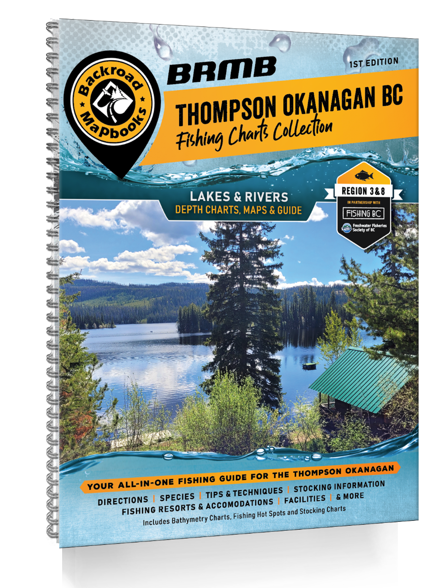
Thompson Okanagan BC Fishing Mapbook
Thompson Okanagan BC Fishing Mapbook is available for PRE-ORDER and will ship as soon as it is back in stock.
Couldn't load pickup availability
Durable Spiral-Bound Format
Durable Spiral-Bound Format
ISBN: 978-1-989175-14-9
Release: 2022
Dimensions: 21.5 cm x 28 cm (8.5" x 11")
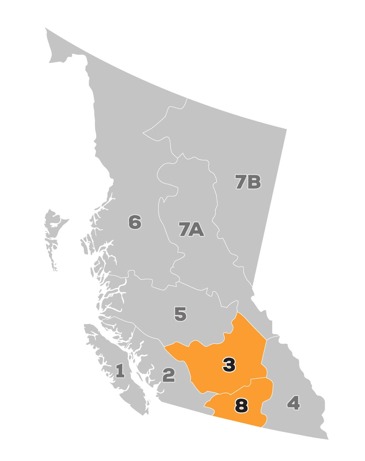
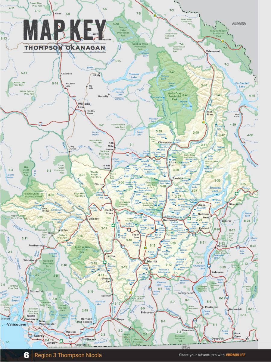
Map Scale & Area
Map Scale & Area
Map Scale:
This mapbook includes
Features Included
Features Included
Description
Description
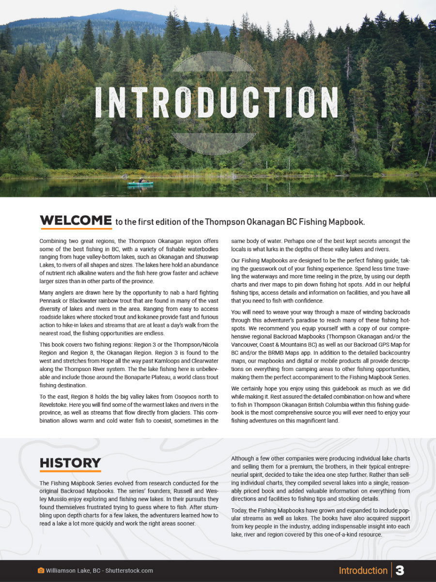
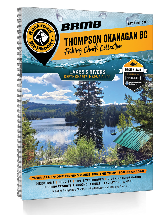
Welcome to the 1st edition of the Fishing Mapbook for Thompson Okanagan, BC!
The Thompson Okanagan region offers some of the best fishing in BC, with a variety of fishable waterbodies ranging from huge valley-bottom lakes such as Okanagan and Shuswap Lake, to rivers of all shapes and sizes. The fish here grow faster and achieve larger sizes than many areas in BC, and many an angler is drawn to the area by the opportunity to nab a hard fighting Pennask or Blackwater rainbow trout. Opportunities abound, from urban fishing holes to remote hike-in lakes found hours from the nearest highway.
As we continue to work to provide the best and most recent information, users of this Fishing Mapbook will find that fishing descriptions, access and facilities have been reviewed and fully updated, including campsite, lodge and resort details. We have also included new and improved bathymetric lake depth charts, as well as the most up to date information available for fish species and stocking information for all lakes and rivers. We have even included the newest fishing docks to our maps.
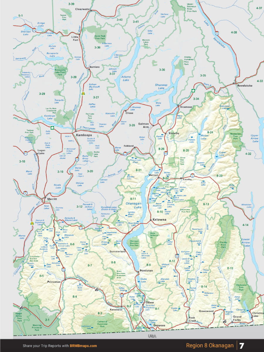
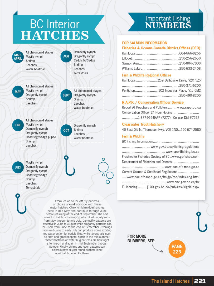
The printed version of this fishing mapbook comes in the convenient 21.5 x 28 cm (8.5 x 11 inch) mapbook format with a heavy-duty spiral-bound cover. Containing Region 3 (Thompson/Nicola) and Region 8 (Okanagan), the 224 page book includes over 210 lakes and rivers and shows you where to fish and how to best fish any given area. We have loaded it with fishing tips, breakdowns of various fish species, fly hatches and specific information on each lake and stream. Inside, you will find maps and depth charts for popular lakes, plus bar or hot spot maps of the main rivers in this region. Nowhere else will you find this combination of detailed regional information plus angling expertise all in one place.
Made for Fishing
Made for Fishing
Our Fishing Mapbooks include:
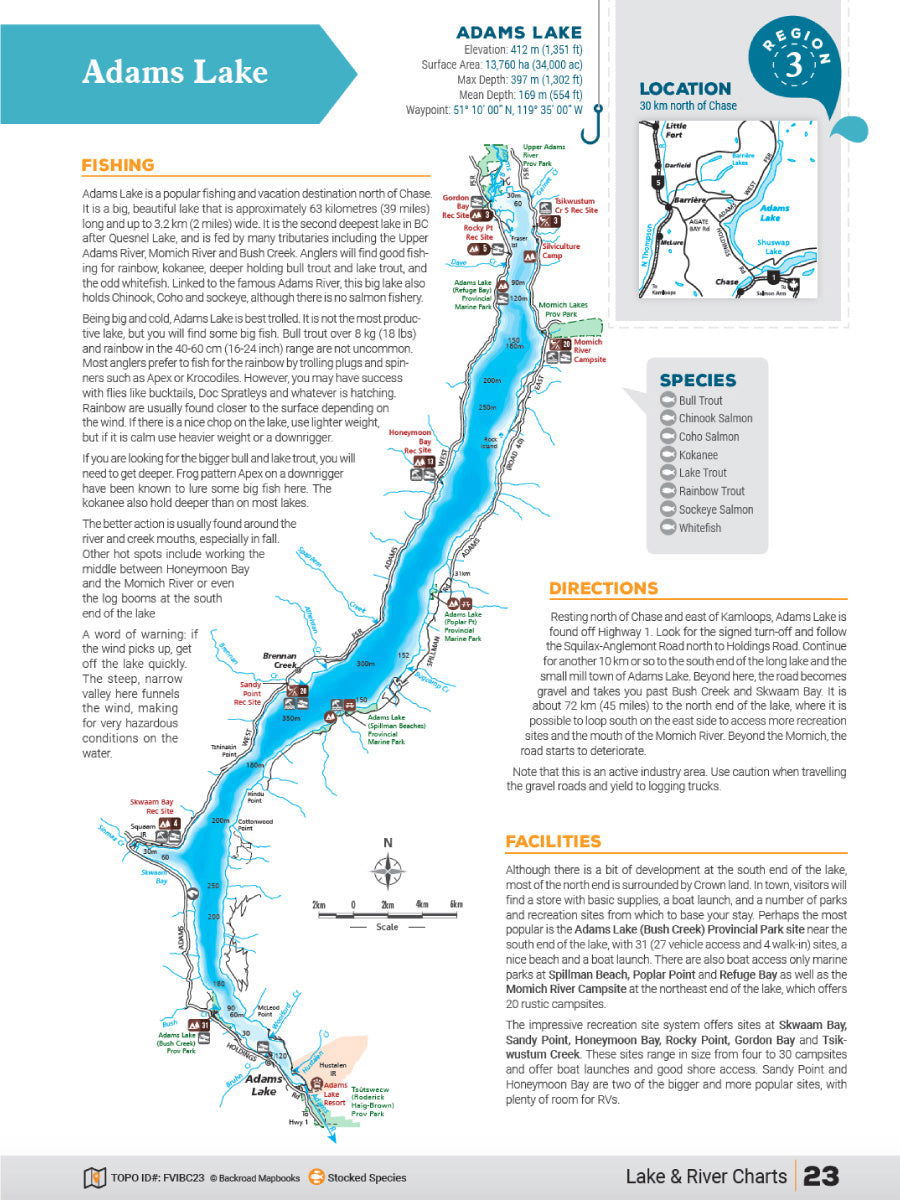
- Bathymetric (Depth) Charts to help you understand any lake or river, so you know exactly where to cast your line
- River & Stream Maps to show you hot spots, access points and surrounding road and recreation features
- Directions & Access information for each lake, river or stream
- Facility Information such as boat launches, camping or resorts, and nearby communities
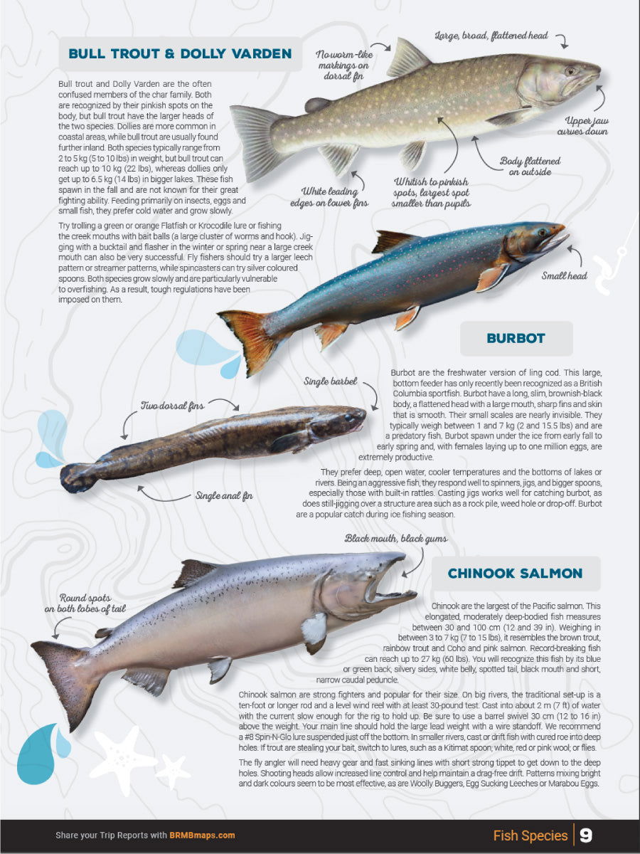
- Local Fish Species and Tips & Techniques on how to catch them
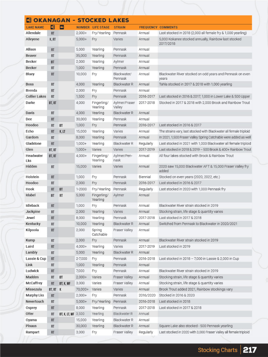
- Stocking Information for each stocked lake, river or stream
- Lake Definitions with proximity to nearest centre, lake elevation, size of lake or length of river or stream, mean and maximum lake depth, and waypoint or geographic location of the waterbody
Nowhere else will you find such a combination of detailed regional information plus angling expertise all in one place.
Mapbook Sections
Mapbook Sections
Print Features
- Map Key & Legend
- Fish Species
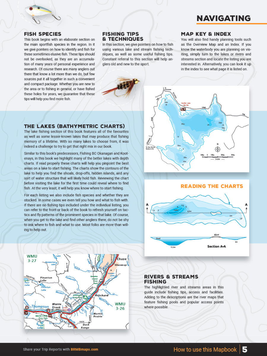
- Fishing Tips & Techniques
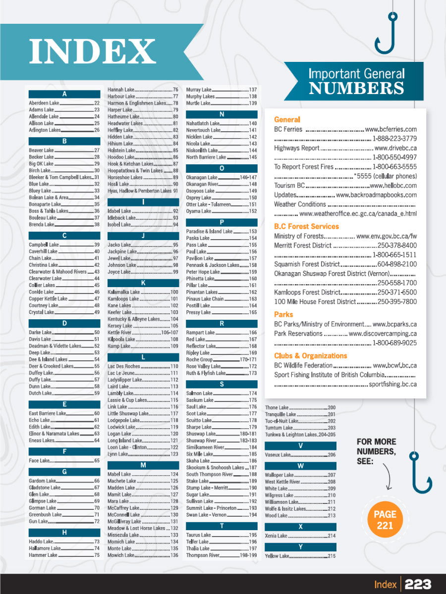
- Over 210 featured Lakes & Rivers
- 200 Lakes with Lake Depth Charts
- 10 featured River systems with River Hot Spot Maps
- Stocking Charts
- Hatch Chart
- BC Fishing Resorts & Outfitters Service Directory
- Index
- Trip Planning Tools
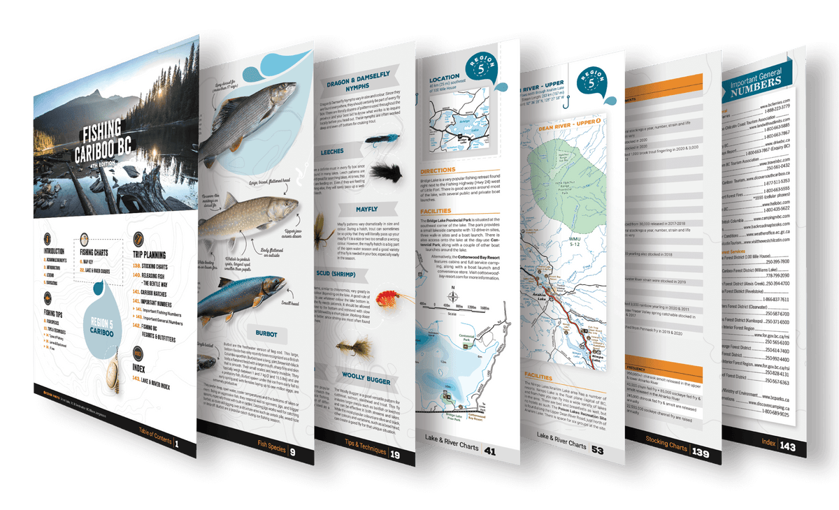
The Fishing Mapbook Format
To assist the greenest angler to the most seasoned veteran, the Fishing Mapbook series shows you where to fish and how to best fish in any given area. Inside, you will find maps and depth charts for popular lakes, plus bar or hot spot maps of the main rivers and shore fishing areas of the region.

