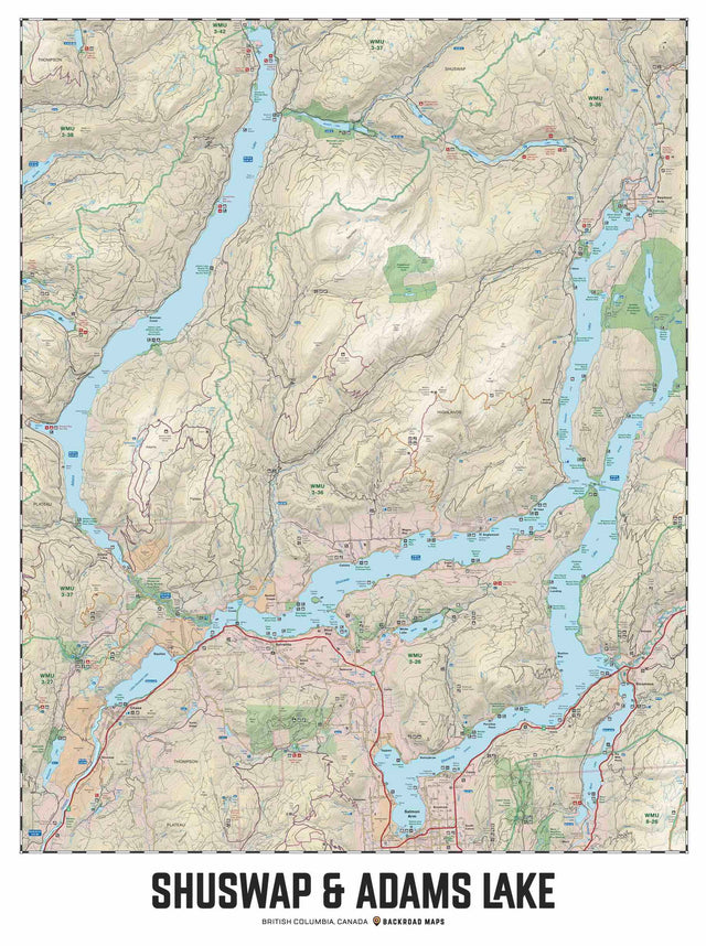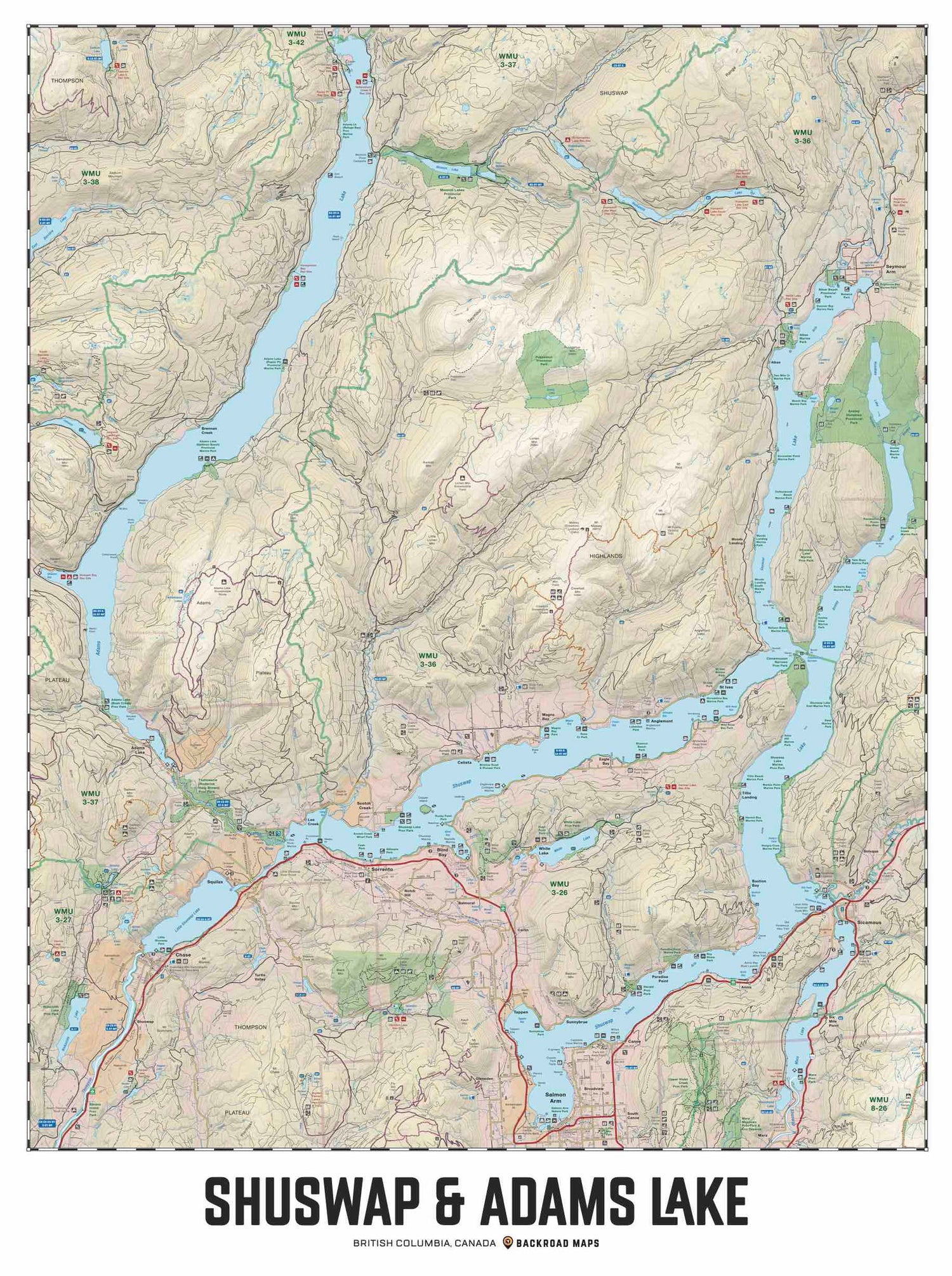
Shuswap & Adams Lake, BC - Wall Map
Thompson Okanagan BC
Couldn't load pickup availability
Scale & Dimensions
Scale & Dimensions
Map Scale: Created at
Note: In case of multiple options, the actual map scale will vary depending on the wall map size you choose.
Dimensions: 3 Options Available
Area Covered
Area Covered
This map includes
Map Features
Map Features
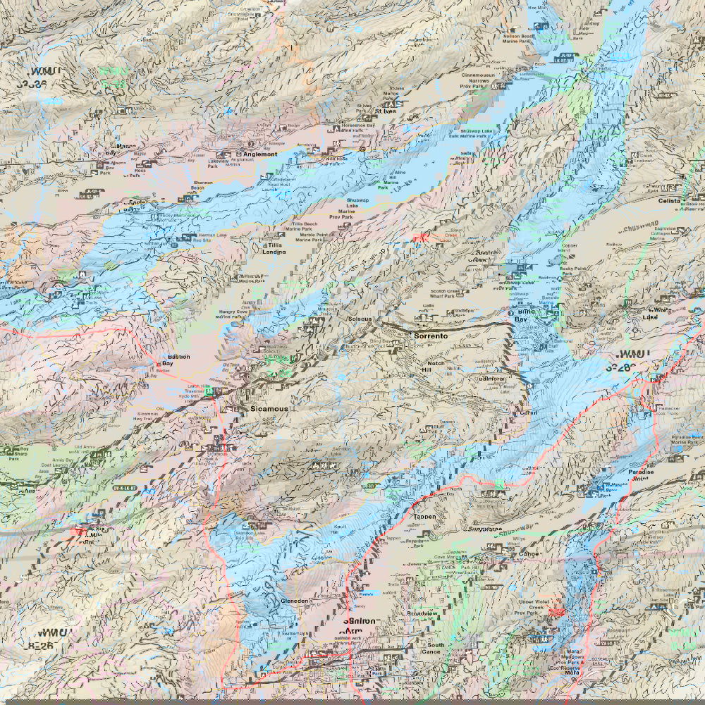
Covering all of Shuswap and Adams Lake, this custom designed map has been created to display nicely on your home, cabin or office wall. The map has been produced using the ever-popular Backroad Mapbook series of maps and showcases this popular area of British Columbia, Canada like never before. Featuring all the roads, trails and recreational hot spots in the Shuswap, this map has been modified to fit nicely into common picture frame sizes. Printed on a durable synthetic material, the map includes Adams Lake, Shuswap Lake, Salmon Arm, Anglemont, Anstey Arm, Blind Bay, Chase, Cinnemousum Narrows, Little Shuswap Lake, Magna Bay, Seymour Arm, Scotch Creek, Sicamous, Sorrento, St Ives, Tsutswecw Provincial Park, White Lake and more!
The Wall Map Format
The Wall Map version of this map features a minimal layout to display nicely to fit into common picture frame sizes so you can hang it on the cabin, home or workshop wall.
All maps come printed on waterproof synthetic material for extra durability.