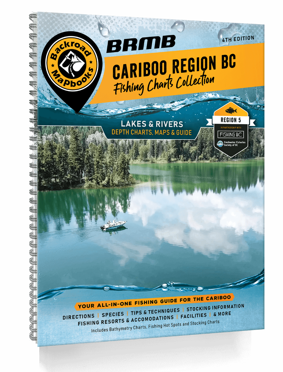
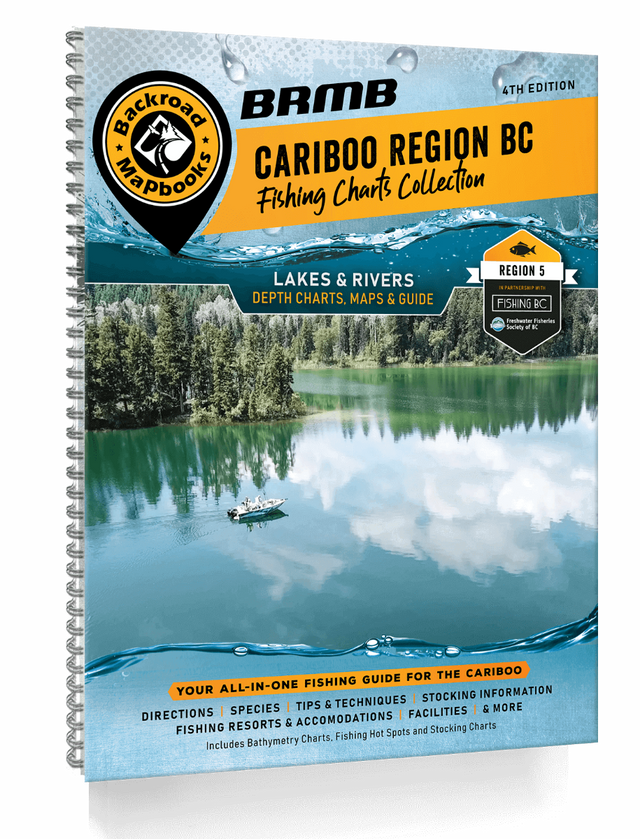
Cariboo Region BC Fishing Mapbook
Cariboo Region BC Fishing Mapbook is available for PRE-ORDER and will ship as soon as it is back in stock.
Couldn't load pickup availability
Durable Spiral-Bound Format
Durable Spiral-Bound Format
ISBN: 978-1-989175-17-0
Release: 2021
Dimensions: 21.5 cm x 28 cm (8.5" x 11")
Map Scale & Area
Map Scale & Area
Map Scale:
This mapbook includes
Features Included
Features Included
Description
Description
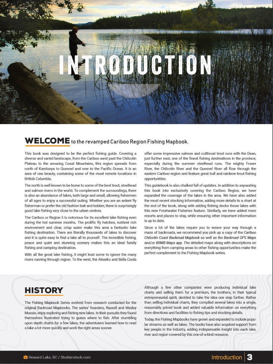
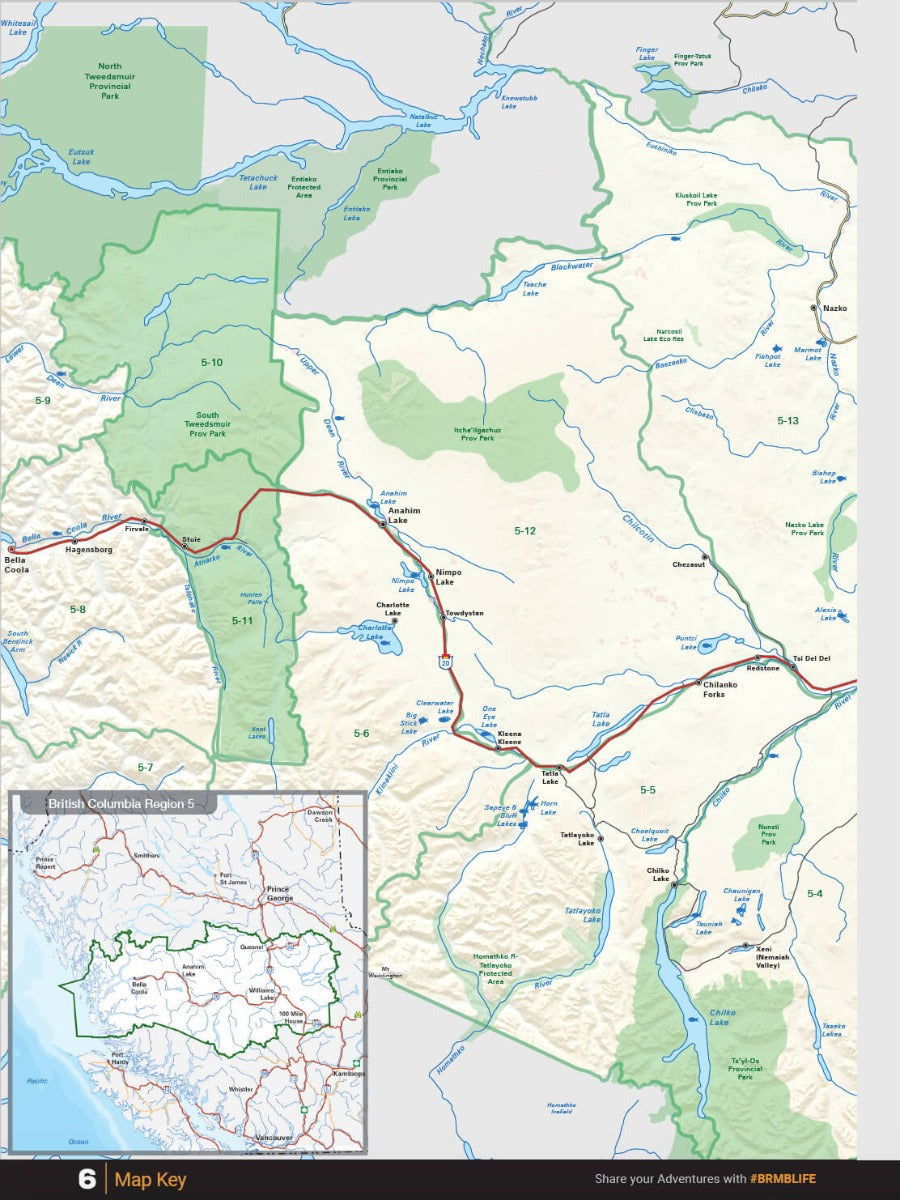
This area is well known around the world to be home to some of the best trout, steelhead and salmon rivers, as well as an abundance of lakes.
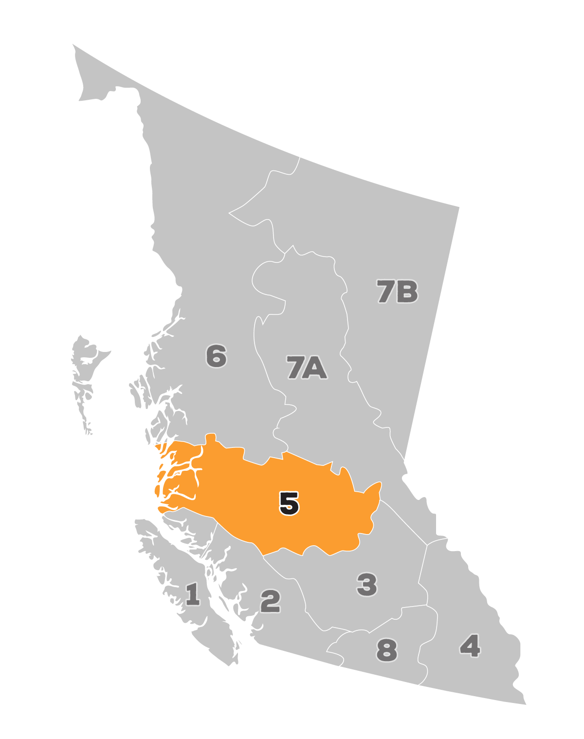
The Cariboo, or Region 5, is notorious for its excellent lake fishing, even during the hot summer months. The prolific fly hatches, nutrient rich environment and clear, crisp water make this area a fantastic lake fishing destination.
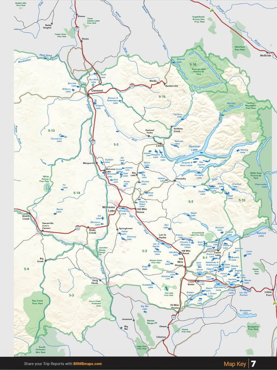
With so many options in the Cariboo area, it’s easy to get overwhelmed when choosing a spot to drop a line. Luckily, our Cariboo BC Fishing Mapbook has an extensive list of fishing hotspots in the area, including road access, lake charts, river maps, local species and stocking information and more. Our Cariboo BC Fishing Mapbook is the perfect resource for finding the right fishing hole to spend an afternoon, or longer.
Made for Fishing
Made for Fishing
Our Fishing Mapbooks include:
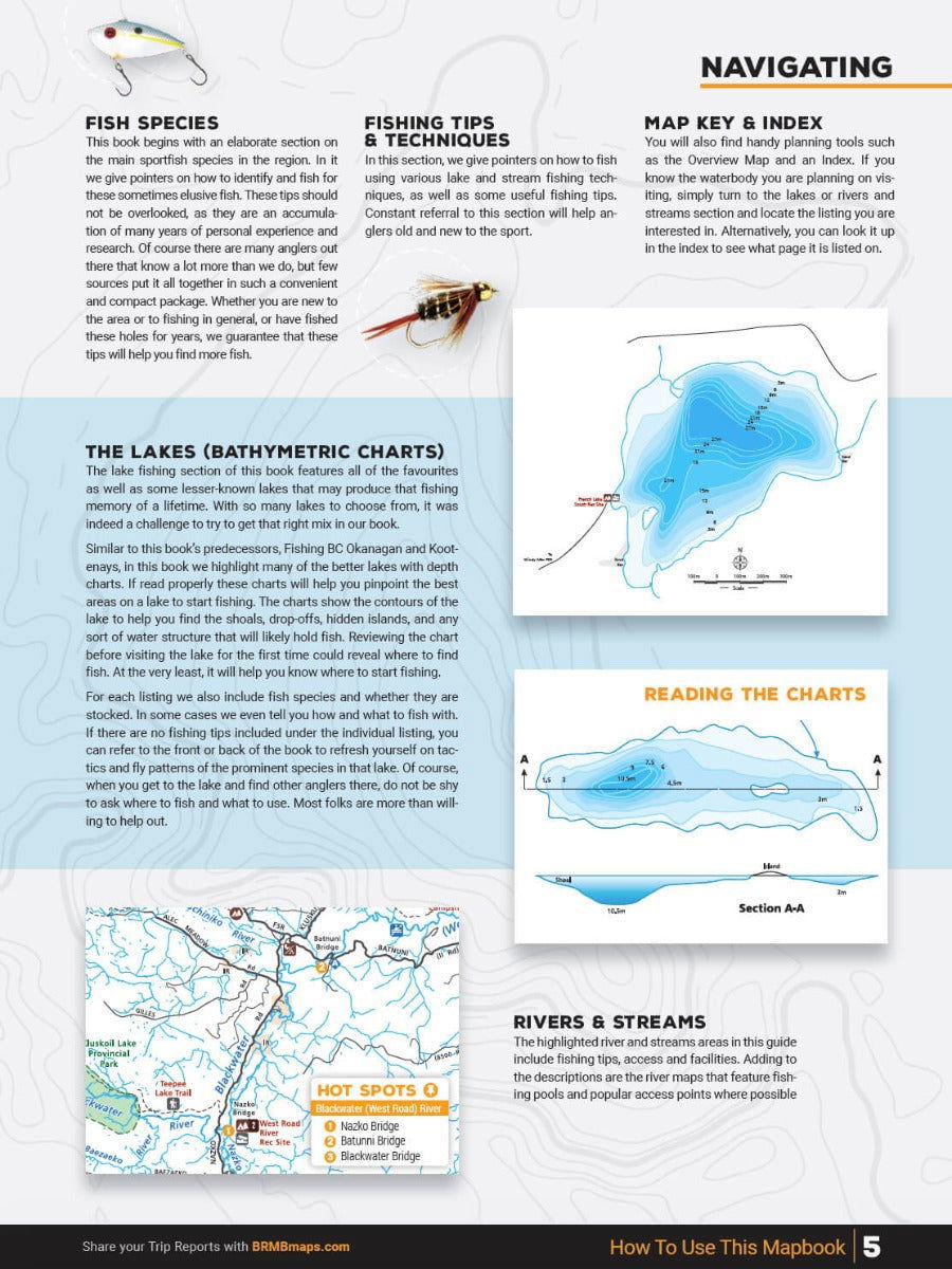
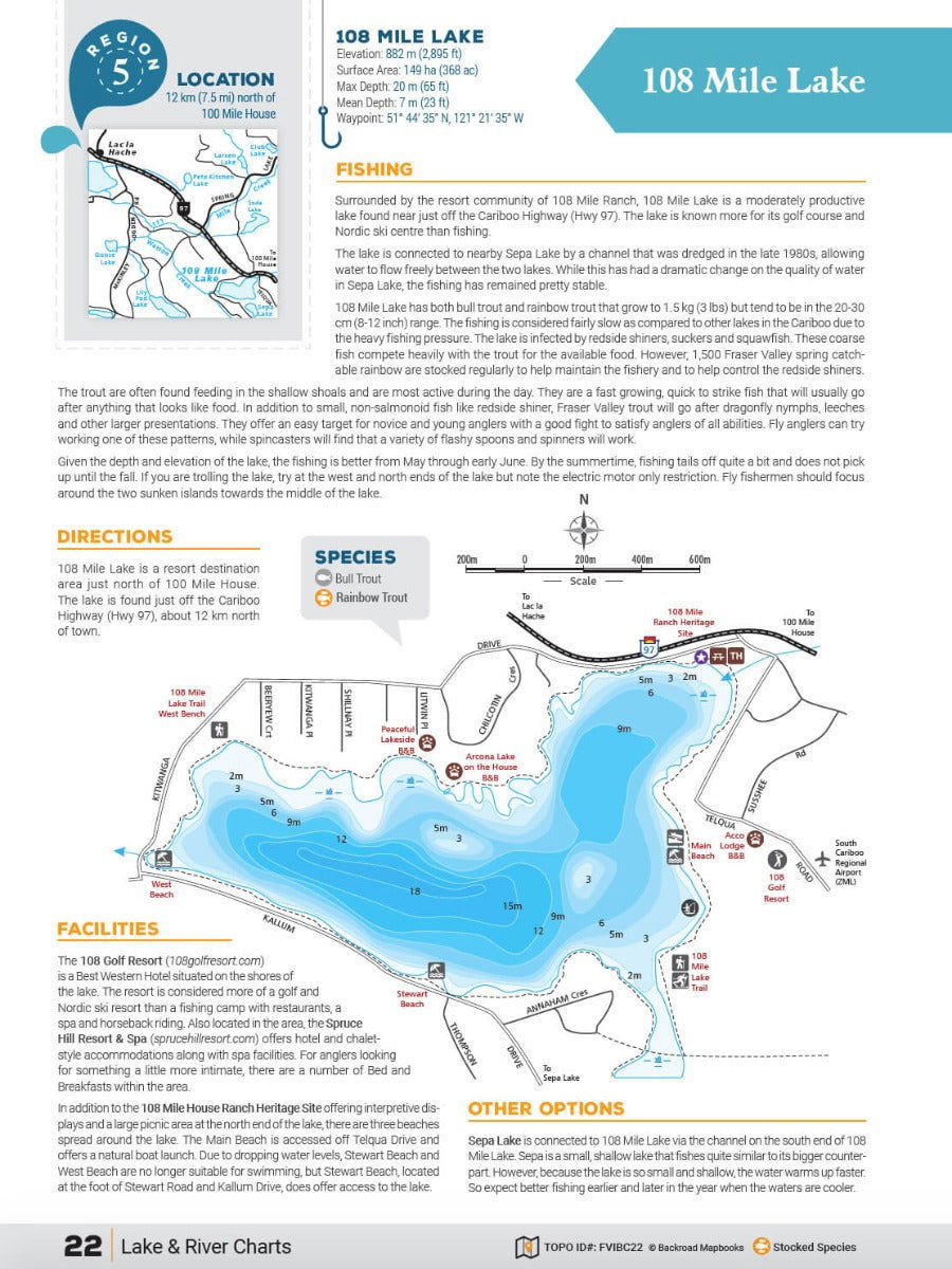
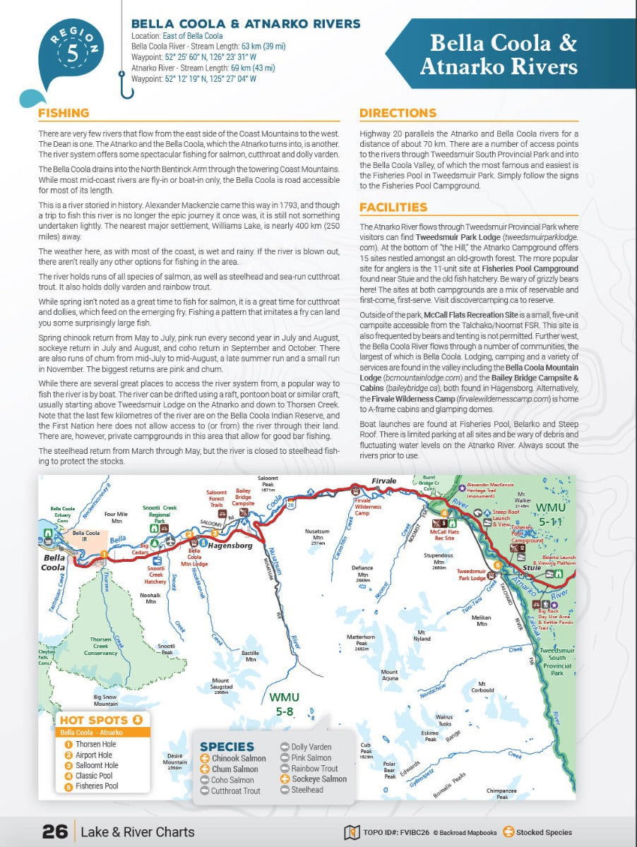
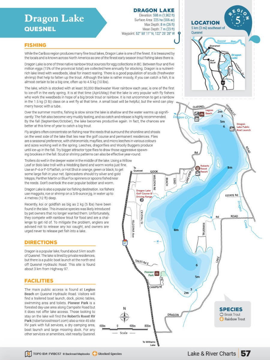
- Bathymetric (Depth) Charts to help you understand any lake or river, so you know exactly where to cast your line
- River & Stream Maps to show you hot spots, access points and surrounding road and recreation features
- Directions & Access information for each lake, river or stream
- Facility Information such as boat launches, camping or resorts, and nearby communities
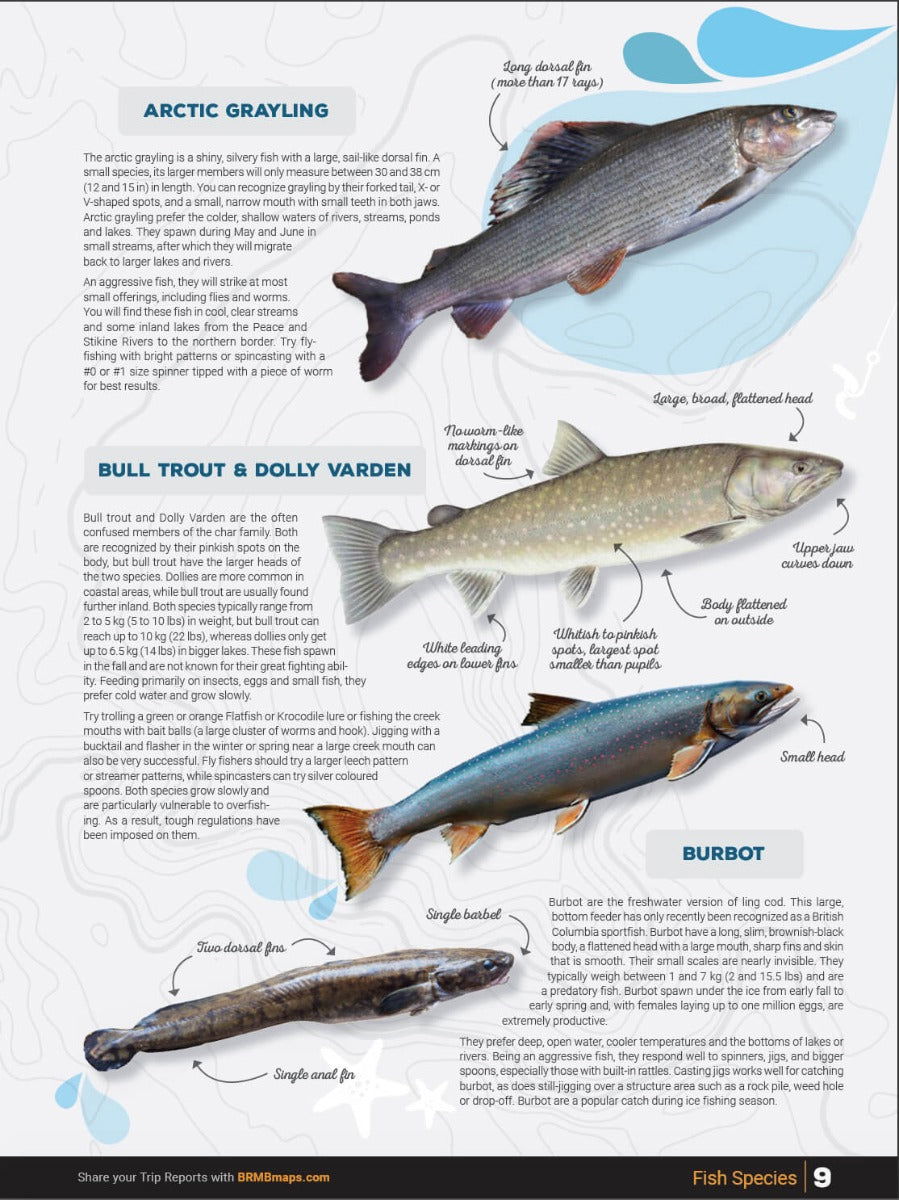
- Local Fish Species and Tips & Techniques on how to catch them
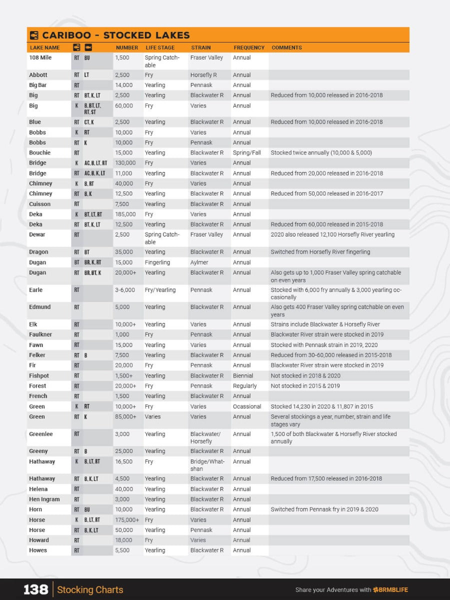
- Stocking Information for each stocked lake, river or stream
- Lake Definitions with proximity to nearest centre, lake elevation, size of lake or length of river or stream, mean and maximum lake depth, and waypoint or geographic location of the waterbody
Nowhere else will you find such a combination of detailed regional information plus angling expertise all in one place.
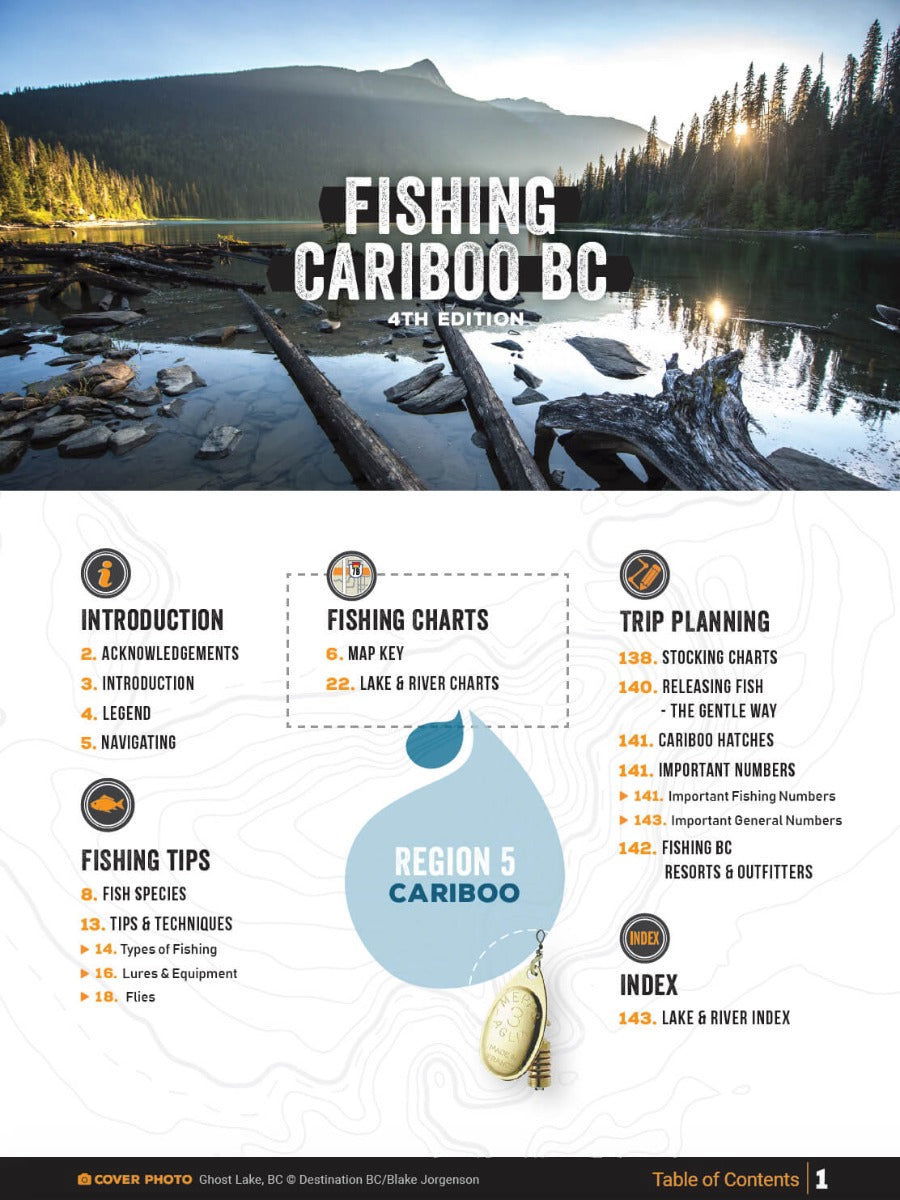
Mapbook Sections
Mapbook Sections
Print Features
- Map Key & Legend
- Fish Species
- Fishing Tips & Techniques
- Over 115 featured Lakes & Rivers
- 110 Lakes with Lake Depth Charts
- 8 featured River systems with River Hot Spot Maps
- Stocking Charts
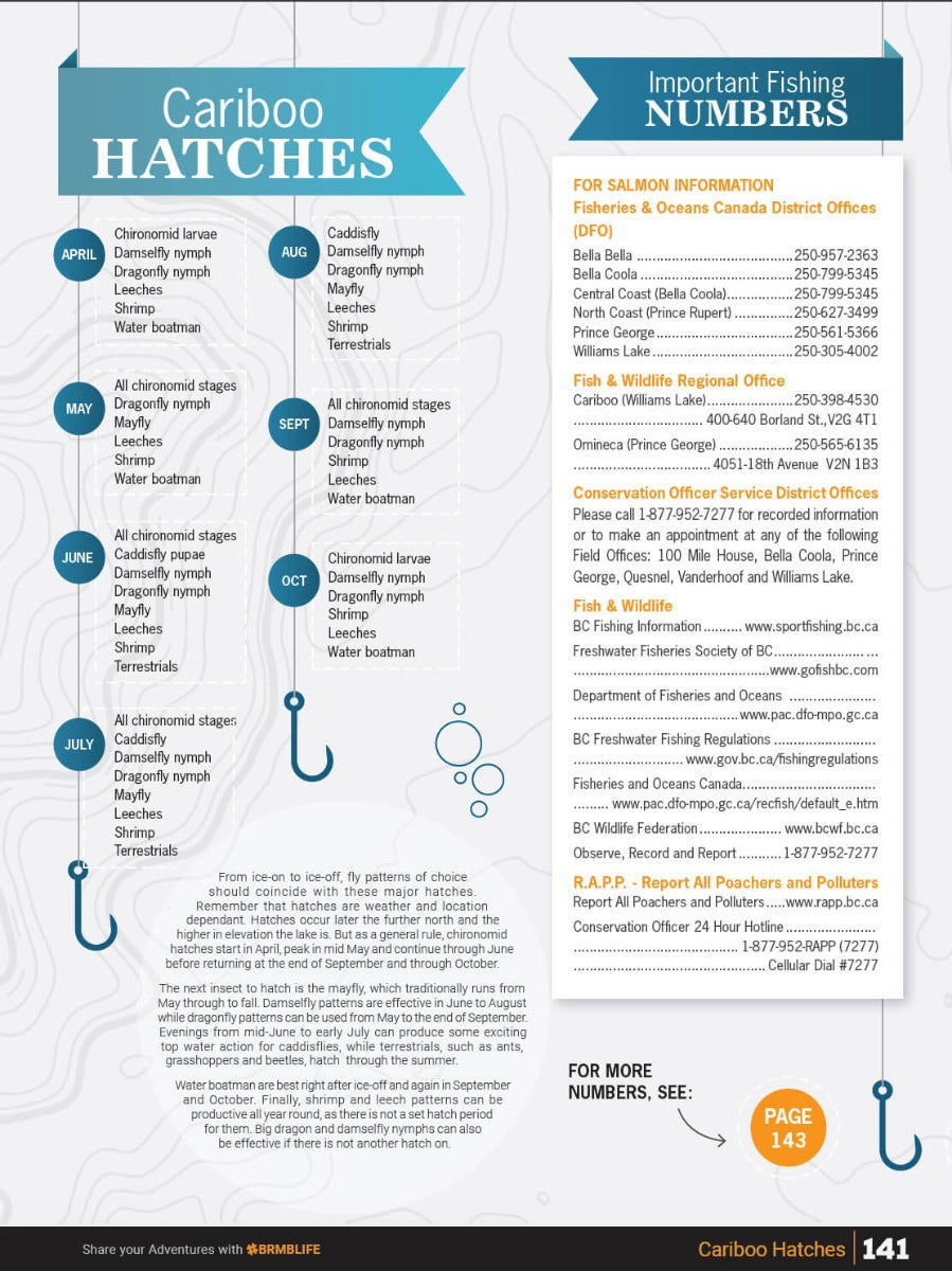
- Hatch Chart
- BC Fishing Resorts & Outfitters Service Directory
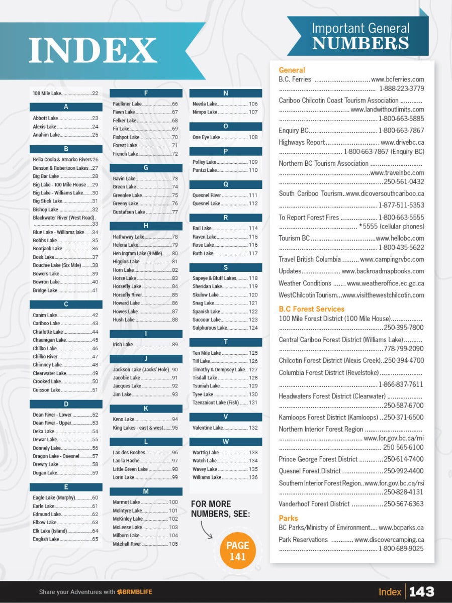
- Index
- Trip Planning Tools
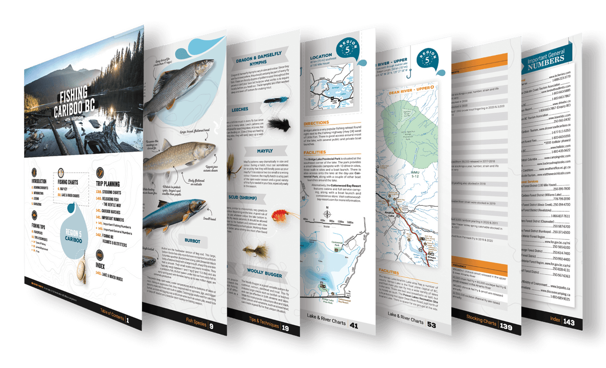
The Fishing Mapbook Format
To assist the greenest angler to the most seasoned veteran, the Fishing Mapbook series shows you where to fish and how to best fish in any given area. Inside, you will find maps and depth charts for popular lakes, plus bar or hot spot maps of the main rivers and shore fishing areas of the region.

