Gros Morne National Park NL - Wall Map
Newfoundland & Labrador
Couldn't load pickup availability
Scale & Dimensions
Scale & Dimensions
Map Scale: Created at
Note: In case of multiple options, the actual map scale will vary depending on the wall map size you choose.
Dimensions: 3 Options Available
Area Covered
Area Covered
This map includes
Map Features
Map Features
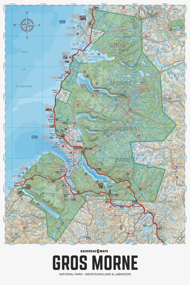
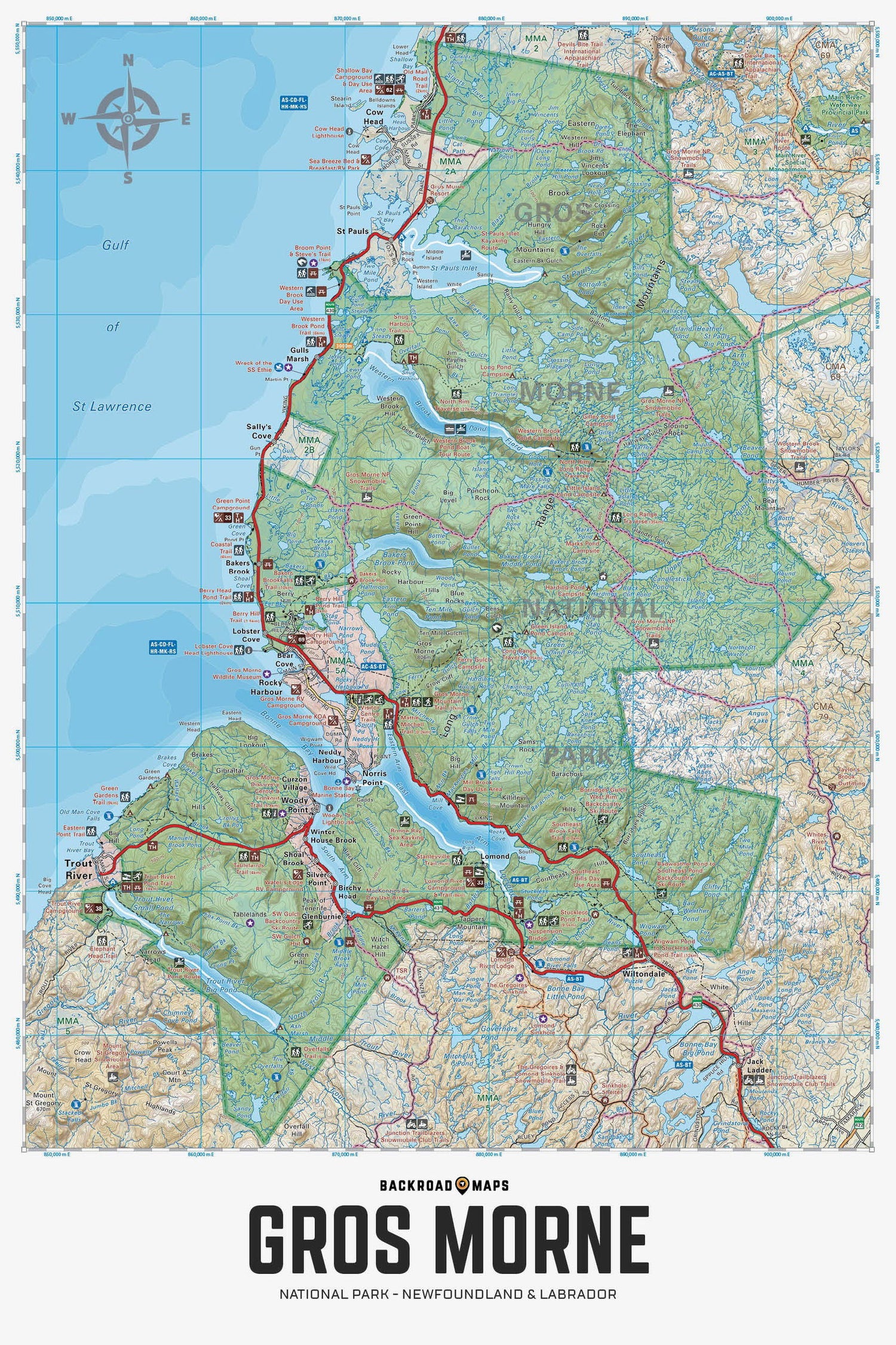
Covering all of Gros Morne National Park, this Newfoundland topographic recreation map highlights all the access roads and trails for hikers, anglers, paddlers, skiers, and backcountry enthusiasts. Showcasing frontcountry and wilderness campsites, boat launches, huts and cabins, picnic sites, snowmobile routes, viewpoints, waterfalls, and fishing hotspots, there is a lifetime of outdoor adventures to be found here. Shown at a 1:100,000 scale, this map features our industry-leading topographic contours and relief shading, as well as roads, padding routes and trails, and snowmobile areas. Included on the map are Bakers Brook, Cow Head, Lobster Cove, Norris Point, Rocky Harbour, Trout River, Witondale, Woody Point, Bonne Bay, Lomond River, Long Range Mountains, Western Brook Pond, and more! No other map covers all of Gros Morne National Park with this level of recreation detail.
The Wall Map Format
The Wall Map version of this map features a minimal layout to display nicely to fit into common picture frame sizes so you can hang it on the cabin, home or workshop wall.
All maps come printed on waterproof synthetic material for extra durability.