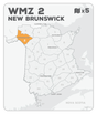
WMZ 2 Hunting Bundle - New Brunswick (5 maps)
Description
Description
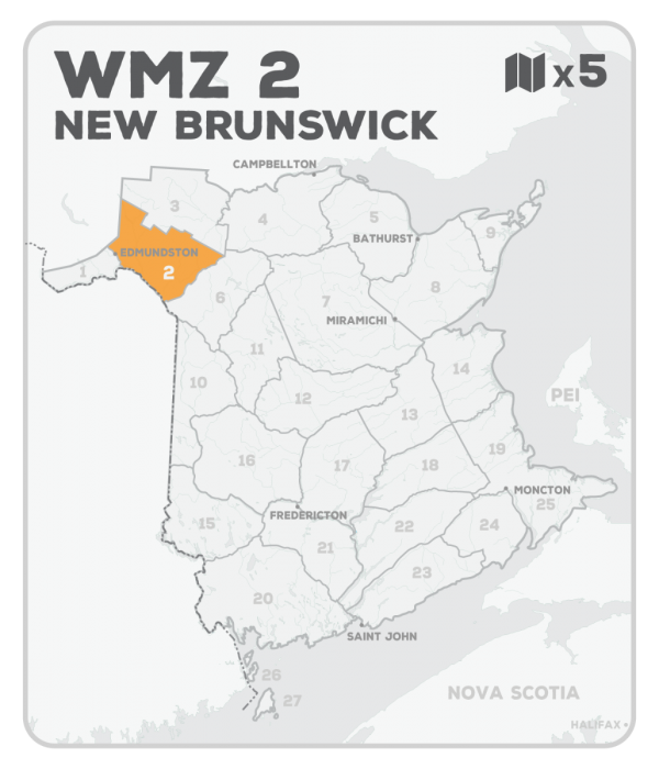
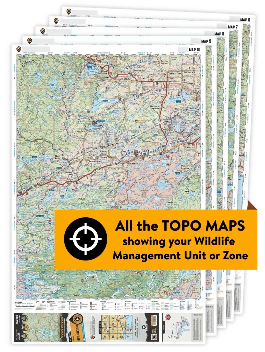
This hunting map bundle includes five individual topographic maps covering this zone. Printed at a 1:65,000 scale, these waterproof maps feature clearly marked Wildlife Management Zones, along with Crown land, wildlife and protected areas, as well as extensive ATV trail and off-road systems. Updated road and trail systems, recreational points of interest, campsites and more make these the most detailed hunting maps available on the market. WMZ 2 is located east of Edmundston and is bordered by Quebec and the Acadian Timberlands to the north, the Madawaska River to the west, Saint- Leonard and Highway 17 to the south, and Saint-Quentin to the east.
This hunting map bundle is available in print and includes the BRMB TOPO maps NBNB 50, 51, 52, 58 and 59. The digital or downloadable version is available through the Avenza Maps app and includes these same topographic maps that can be viewed and tracked on your phone or tablet when exploring the entire hunting area.