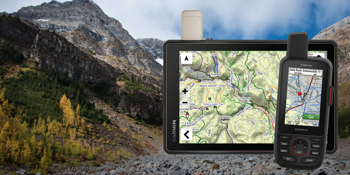
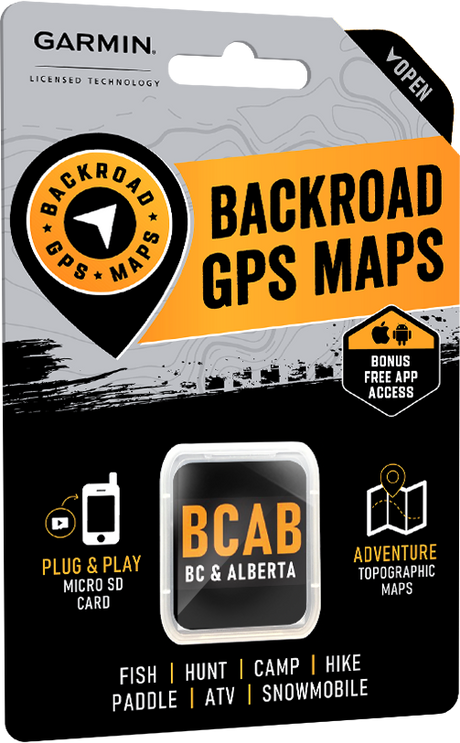
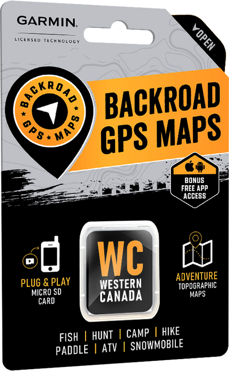
The latest Backroad GPS Maps for Western Canada are here.
Version 2027 introduces updated road networks, expanded trail coverage and thousands of new recreation, geographic and resource features across British Columbia, Alberta, Saskatchewan and Manitoba.
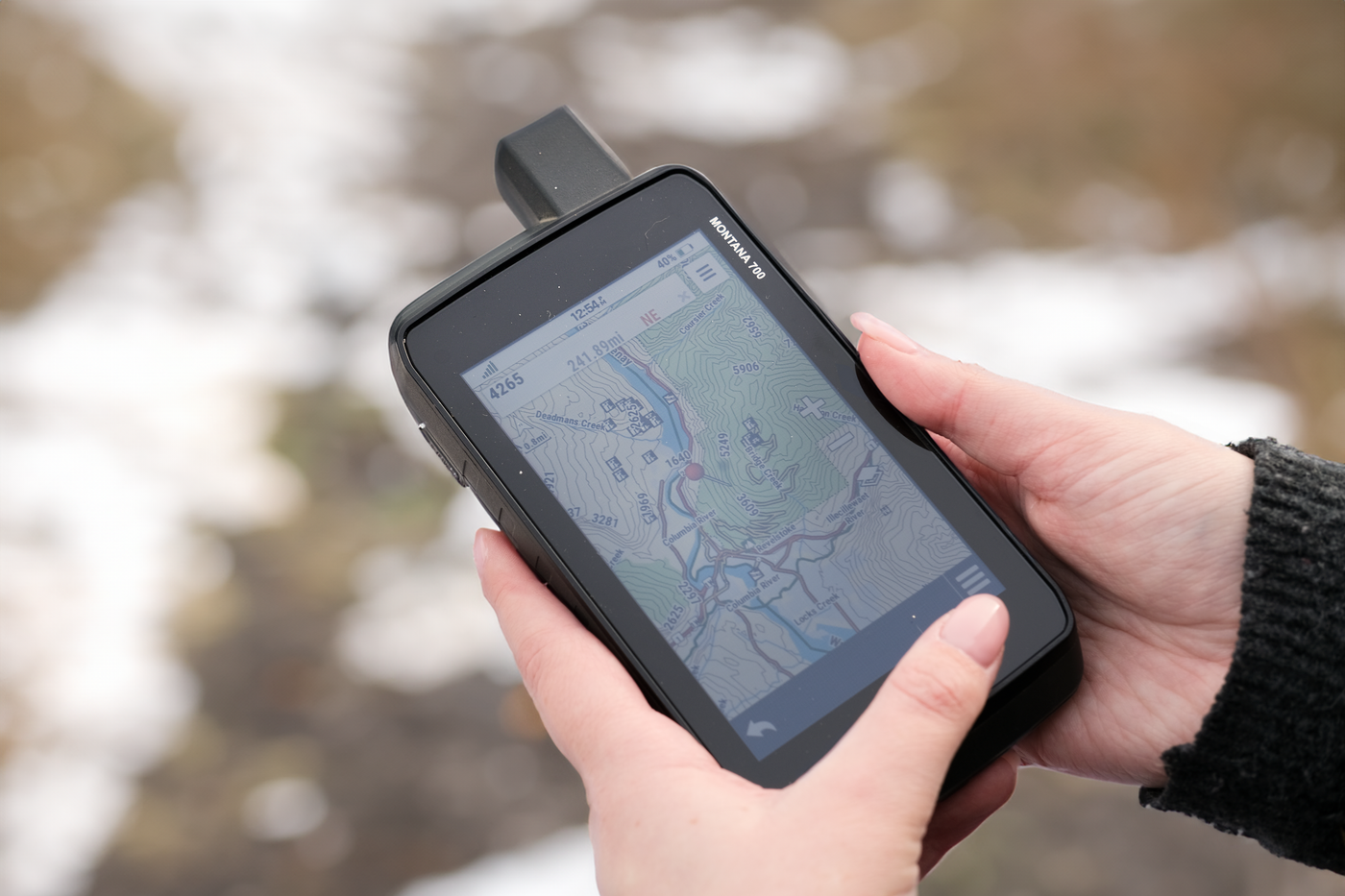
Whether you are heading out for a weekend adventure, planning a multi-day trip or travelling for work, these Garmin-licensed maps provide detailed information for navigating beyond the main highways and outside reliable cell coverage.
What’s New in Version 2027?
The Western Canada Version 2027 update includes:
- Roads, routable and non-routable: 1,605,297 km, +6,812 km from the previous version
- ATV trails: 47,445 km, +1,526 km
- Multi-use trails: 76,315 km, +1,324 km
- Paddling routes: 65,868 km, +421 km
- Snowmobile trails: 58,786 km, +1,037 km
- Trans Canada Trail: 8,258 km, 72 km decrease
- Adventure points of interest: 63,832 points, +2,106
- Resource and industry points of interest: 590,203 points, +11,675
- Service points of interest: 51,281 points, +130
- Geographic points of interest: 142,722 points, +40
- Labelled roads, waterways and geographic features: 289,947, +86,280
- Township and resource grids: 8,063,359 points
Version 2027 also includes improved road classifications and updated recreation information to help you find places to camp, fish, paddle, hike, ride and explore throughout Western Canada.
Shop Version 2027
British Columbia receives some of the largest road and recreation updates in Version 2027.
Highlights include:
- More than 13,000 km of newly added roads
- Improvements to approximately 80,000 road names
- More than 7,500 km of added or updated trails, paddling routes and motorized trails
- Over 770 new trailheads and staging areas
- More than 3,000 new recreation and geographic features
- 650+ new parks
- 250+ new access locations
- 210+ new multi-use trails
- Nearly 150 new conservation sites
- 130+ new fishing docks
- 120+ new ATV trailheads and staging areas
- 100+ new wildlife viewing areas
- Nearly 75 new overland routes
- Expanded snowmobile, boat launch, campground and winter recreation data
Shop British Columbia V2027
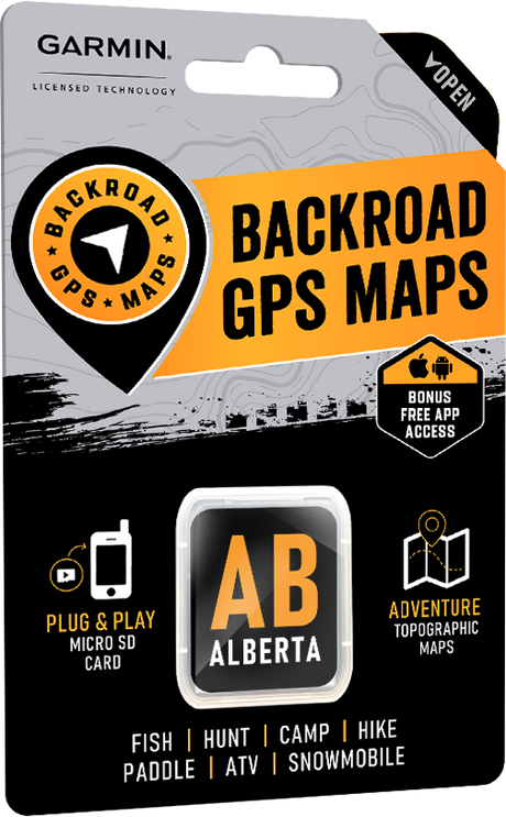
The Alberta update adds extensive new road, trail, recreation and resource information across the province.
Highlights include:
- Almost 23,250 km of newly added roads
- More than 3,150 upgraded or newly named roads
- More than 4,400 km of added or updated ATV, snowmobile, multi-use and paddling routes
- Over 400 new trailheads and staging areas
- Nearly 1,560 new wind turbines
- More than 11,700 new wellsite footprints
- Almost 750 new recreation and geographic features
- 290+ new multi-use trails
- More than 150 new campsites
- 125+ new boat launches
- 100+ new private campsites
- Expanded conservation, transportation, lodging and snowmobile information
Shop Alberta V2027
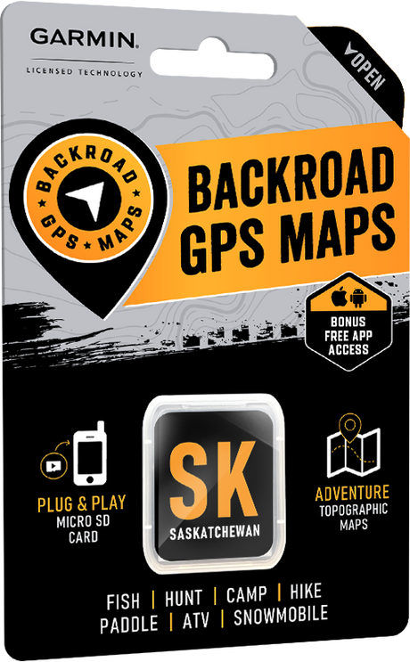
Version 2027 adds significant new resources, recreation and geographic information throughout Saskatchewan.
Highlights include:
- Almost 2,000 km of newly added roads
- More than 1,700 upgraded or newly named roads
- More than 2,000 km of added multi-use, paddling and snowmobile routes
- Over 100 new trailheads and staging areas
- More than 115,000 new resource sites
- Almost 4,000 new recreation and geographic features
- 1,150+ new fishing lakes, rivers and streams
- 560+ new parks
- 520+ new backroad attractions
- Nearly 200 new private campsites
- New overland routes, dirt bike trails, diving sites and gun ranges
Shop Saskatchewan V2027
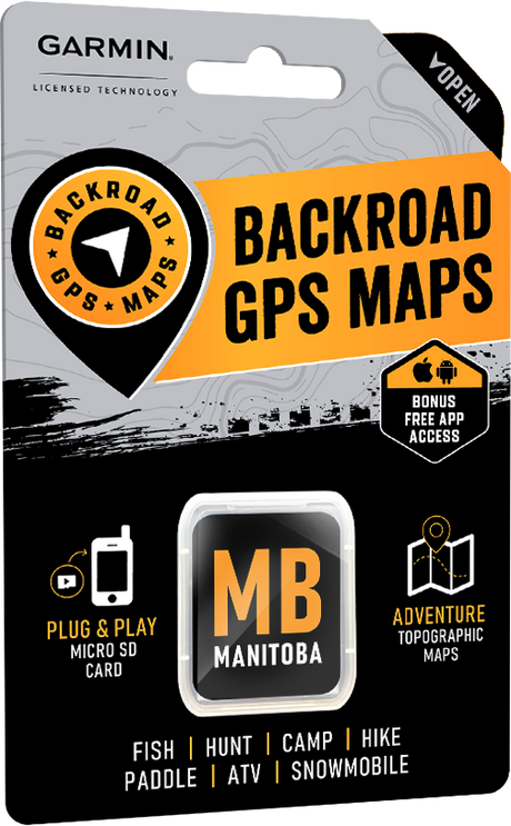
The latest Manitoba GPS Maps include expanded trail coverage and thousands of new recreation and travel features.
Highlights include:
- Almost 2,000 km of newly added roads
- More than 2,000 upgraded or newly named roads
- More than 5,300 km of added multi-use, paddling and snowmobile routes
- Over 100 new trailheads and staging areas
- Nearly 3,000 new recreation and geographic features
- 300+ new backroad attractions
- More than 260 new fishing lakes, rivers and streams
- 240+ lodging, resort and outfitter locations
- 230+ access points, paddling routes, docks, boat launches and marinas
- 150+ snowmobile routes and staging areas
- 140+ private campsites
- Expanded hunting, park, wildlife viewing and winter recreation information
Shop Manitoba V2027
Already Own Backroad GPS Maps?
Customers with an eligible Backroad GPS Map product can log in to their account and visit the My GPS Maps section to register their maps and check for available updates.
Log in
Coming in Spring 2027
Eastern Canada Version 2027 Titles
The next Version 2027 releases will cover Eastern Canada and are currently planned for Spring 2027. Additional release information and product availability will be announced closer to launch.