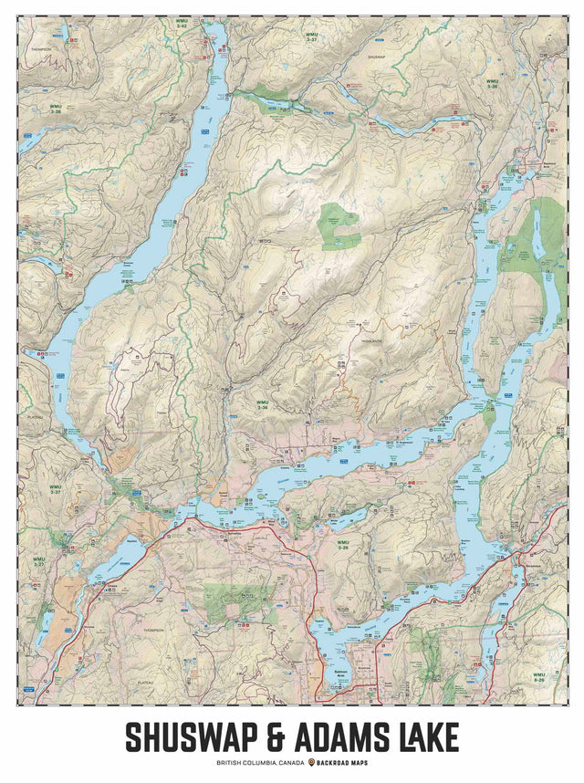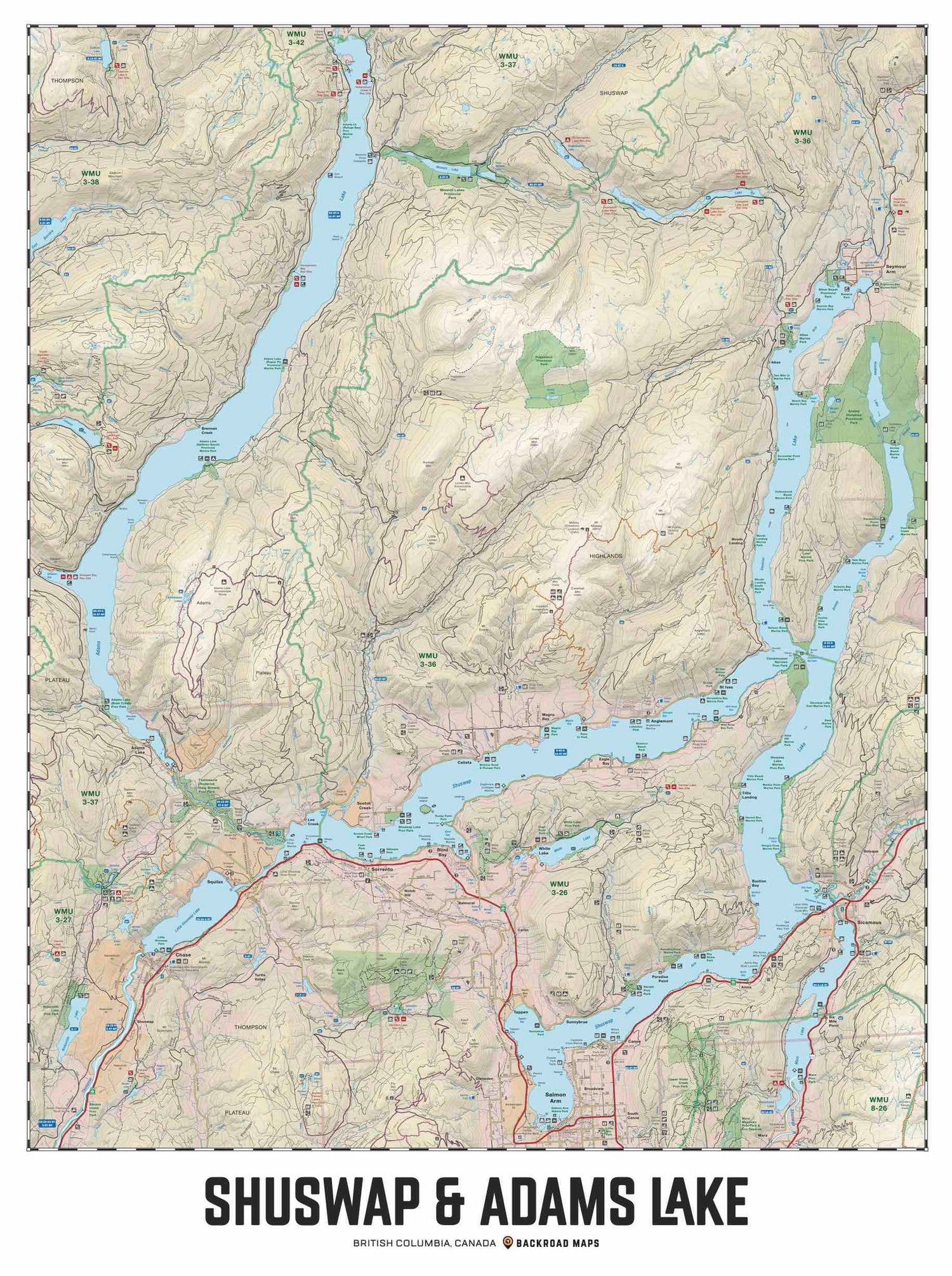

"Recieved as expectef Very nice wall map display of this area"
Chargement...
Shuswap et Adams Lake, Colombie-Britannique – Carte murale
Thompson Okanagan, Colombie-Britannique
$5995
Prix unitaire
/
Indisponible
Impossible de charger la disponibilité pour le Service de retrait
Scale & Dimensions
Scale & Dimensions
Map Scale: Created at
Note: In case of multiple options, the actual map scale will vary depending on the wall map size you choose.
Dimensions: 3 options disponibles
Area Covered
Area Covered
This map includes
Map Features
Map Features
Couvrant l'ensemble de Shuswap et du lac Adams, cette carte conçue sur mesure a été créée pour être joliment exposée sur le mur de votre maison, de votre chalet ou de votre bureau. La carte a été produite en utilisant la très populaire série de cartes Backroad Mapbook et met en valeur cette région prisée de la Colombie-Britannique, au Canada, comme jamais auparavant. Comprenant toutes les routes, tous les sentiers et tous les points d'intérêt récréatifs de Shuswap, cette carte a été modifiée pour s'adapter parfaitement aux formats de cadres courants. Imprimée sur un matériau synthétique durable, la carte inclut le lac Adams, le lac Shuswap, Salmon Arm, Anglemont, Anstey Arm, Blind Bay, Chase, Cinnemousum Narrows, le petit lac Shuswap, Magna Bay, Seymour Arm, Scotch Creek, Sicamous, Sorrento, St Ives, le parc provincial Tsutswecw, White Lake et plus encore !
The Wall Map Format
The Wall Map version of this map features a minimal layout to display nicely to fit into common picture frame sizes so you can hang it on the cabin, home or workshop wall.
All maps come printed on waterproof synthetic material for extra durability.

Overall rating: 4.5 / 5 from 2 reviews.
AI Generated Review Summary
Summary topics
Review topics: [].
Review highlights
Reviews
Beautiful Maps!
"Got this as a gift for a family member who has a cabin in the area and is a outdoorsman - they loved it! Beautiful maps and extremely well detailed! They mounted it on the wall in their cabin!"
Q&A
- What is the finish on the map? Shiny or mate?
- Hi there! The wall maps are printed on a waterproof material with a matte/satin finish.
- Is the map 36” or 48” high?
- Hi there, We have 3 sizes available for this map: - 24" wide by 36" tall - 36" wide by 48" tall - 48" wide by 60" tall
Featured stories
Showing articles tagged “Colombie-Britannique”
No articles currently match this tag.