Unlock the Outdoors with 25% Off! Ends December 2nd, 2024

WMU 1-10 Hunting Bundle - Vancouver Island Region BC (11 maps)

💧 Waterproof Map
$14025 $16500

Specs

Map Scale:
Release:

Dimensions:

Description

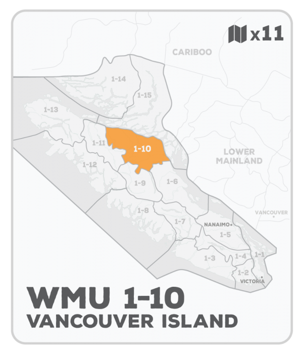
This hunting map bundle includes 11 individual topographic maps covering this zone. Printed at a 1:50,000 scale, these maps feature clearly marked Wildlife Management Units, along with private land areas and motorized and hunting restricted areas. Updated road and trail systems, recreational points of interest, campsites, fish species and more make these the most detailed hunting maps available on the market. WMU 1-10 stretches northwest from Campbell River past Sayward and includes the drainages of the Adam, Salmon, Tsitika and White Rivers.


This hunting map bundle is available in print and includes BRMB TOPO maps VIBC 32, 33, 34, 39, 40, 41, 42, 48, 49, 50 and 51. The digital or downloadable version is available through the Avenza Maps app and includes these same topographic maps that can be viewed and tracked on your phone or tablet when exploring the entire hunting area.

Looking for a different area?

Browse our TOPO Maps: Zoom into your province to see the map grid, then click on any of the highlighted areas to select your TOPO Map

WMU 1-10 Hunting Bundle - Vancouver Island Region BC (11 maps) - Hunting Bundle

WMU 1-10 Hunting Bundle - Vancouver Island Region BC (11 maps)

$14025 $16500
This hunting map bundle includes 11 individual topographic maps covering this zone. Printed at a 1:50,000 scale, these maps feature clearly marked Wildlife Management Units, along with private land areas and motorized and hunting restricted areas. Updated road and trail systems, recreational points of interest, campsites, fish species and more...

Scale

n/a

Area

n/a

Dimensions

n/a

Pages

n/a

Release

n/a

Features

n/a
View product